Exploring the Geography of Iraq: A Journey Through Ancient Mesopotamia and Modern Landscapes.
Introduction to Iraq’s Geographic Significance
Located in the historical region once known as ancient Mesopotamia, Iraq is nestled between the Tigris and Euphrates rivers, collectively referred to as “the land between two rivers.” This positioning places Iraq within the eastern portion of the Fertile Crescent, a notably fertile zone within a predominantly arid Middle Eastern and North African landscape. As one of the Arab world’s easternmost nations, Iraq aligns latitudinally with the southern United States, enhancing its strategic and climatic significance.
Iraq’s Diverse Geographic Regions
Iraq’s topography is segmented into four distinct regions, each contributing uniquely to the country’s physical and economic landscape:
- Central and South-eastern Iraq – Dominated by the Tigris-Euphrates sedimentary plains, this area is vital for agriculture, thanks to nutrient-rich soils replenished by snowmelt from Turkey and Iran.
- North-western Iraq – This upland region, set between the Tigris and Euphrates, features mixed terrain that transitions gradually into the surrounding plains.
- Western and Southern Deserts – Covering roughly 40% of Iraq, these arid expanses form a stark contrast to the fertile plains, characterised by their vast, unbroken landscapes.
- Northern and North-eastern Highlands – Comprising mountains and elevated terrains, this area accounts for about one-fifth of Iraq’s total land area, contributing to its diverse ecological and geographical makeup.
Urban and Rural Dynamics
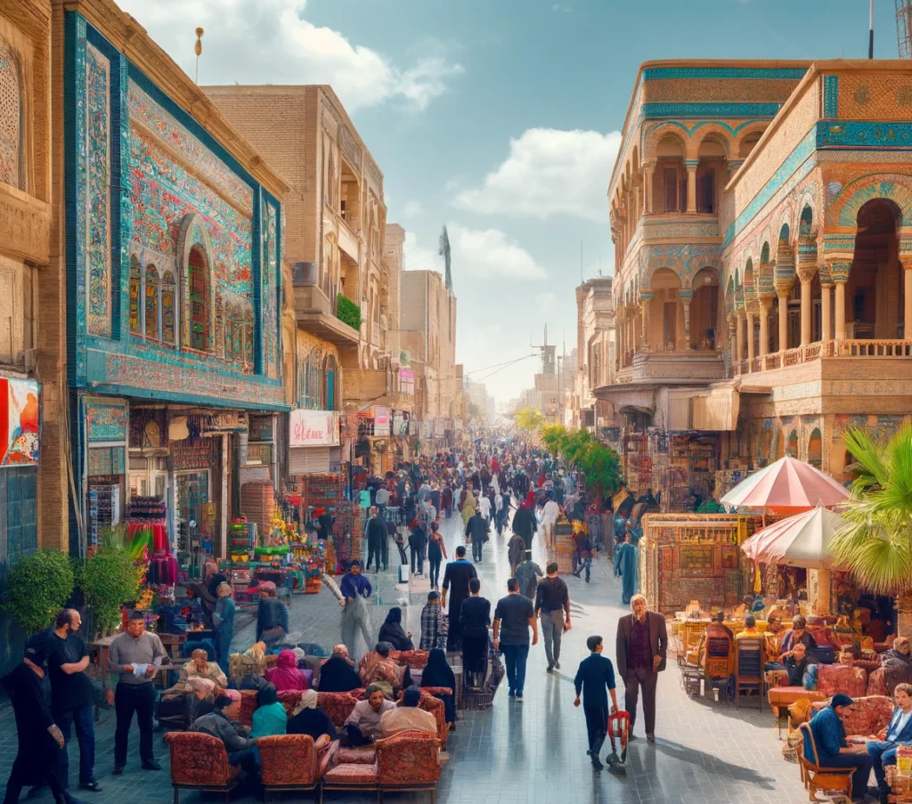
Iraq’s demographic setup is influenced heavily by its geographical diversity. Major urban centres like Baghdad, the capital, are pivotal not just politically but also culturally and economically. Baghdad alone houses approximately 9.5 million residents as of a 2024 estimate. Other significant cities include Basra, Mosul, Najaf, Karbala, Erbil, and Kirkuk. Administratively, Iraq is divided into 18 governorates, which are further subdivided into 120 districts and numerous sub-districts, with Anbar being the largest in terms of area.
Key Geographic Facts about Iraq
- Iraq ranks fourth globally for the largest proven petroleum reserves.
- It possesses significant natural gas reserves.
- The country’s total area spans 437,072 square kilometres, roughly equating to the size of California.
- As of 2024, Iraq’s population is estimated to be around 46.5 million. The country has a relatively young population with a median age of about 21.2 years.
- Iraq’s varied terrain includes mountains, plains, and deserts.
- The climate predominantly features hot and dry conditions.
Environmental and Agricultural Aspects
Dams are critical in Iraq for flood control and facilitating irrigation, supporting numerous large-scale irrigation projects essential for the nation’s agricultural sector. This intricate system not only sustains local farming but also impacts Iraq’s ecological balance and water management.


